We started the day with coffee (well, hot chocolate for me) and beignets at Cafe Du Monde. This is another N.O. landmark; it's been there since, like, forever, and it's the place to go for beignets. They were better than the ones we'd had the day before.
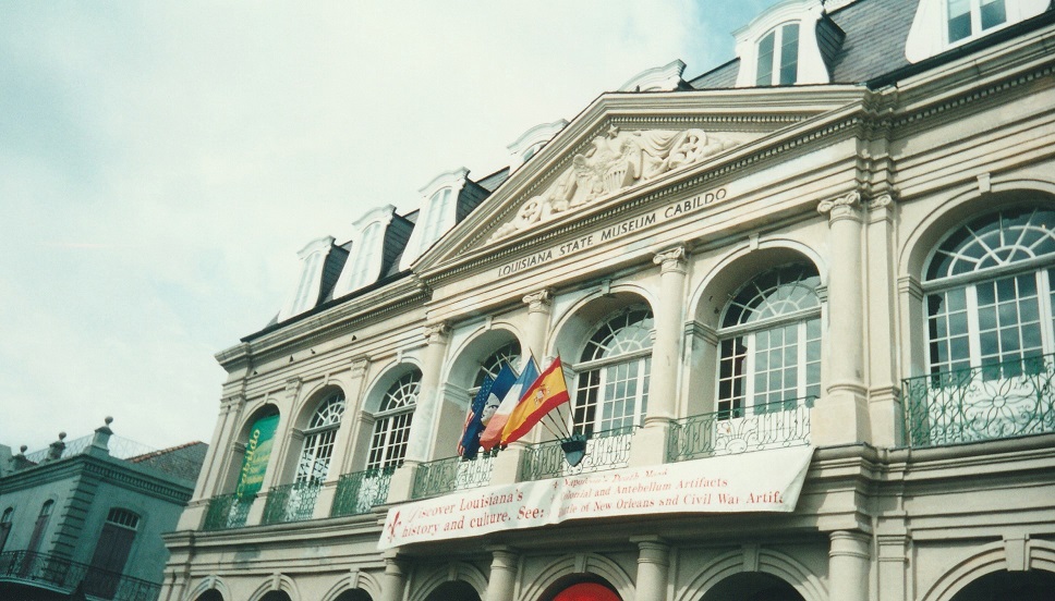
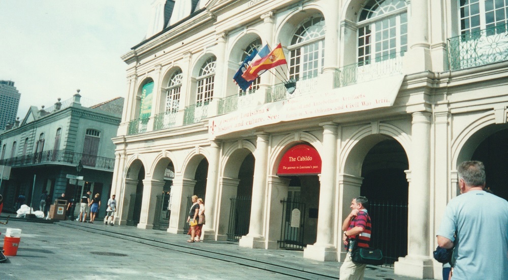
We then went back to the Cabildo, which we hadn't seen all of the previous day:


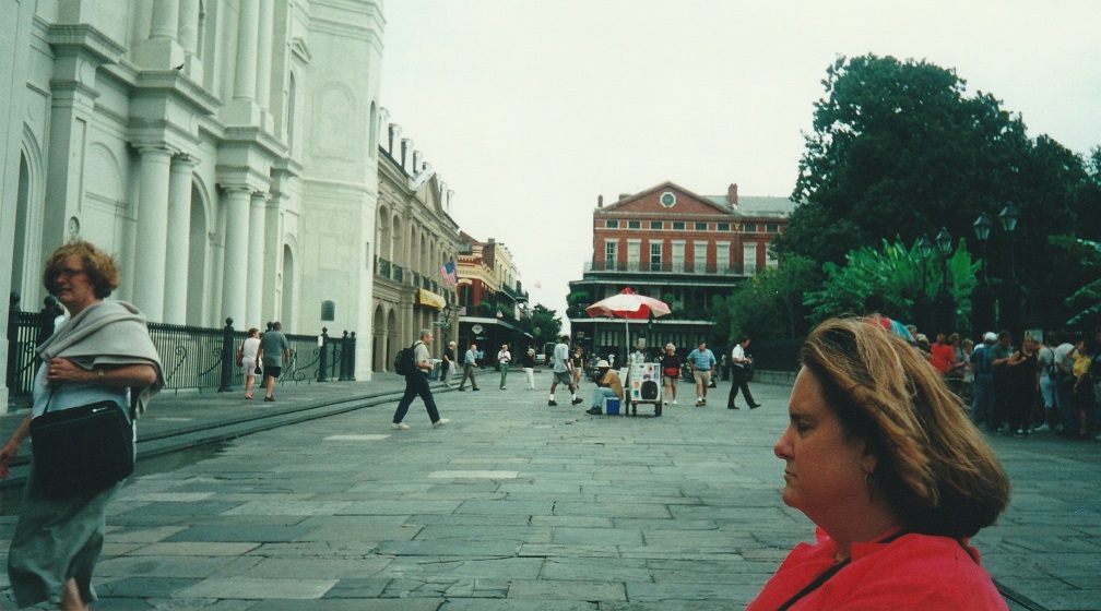
We then lingered on a bench for a while, listening to the Jackson Square band:
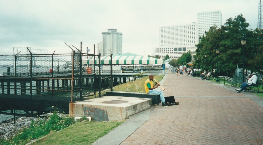
Next, we went to take a riverboat cruise. On our way to the boat landing, I saw this guy sitting there playing his sax, and thought it was a very "New Orleans" moment, so I took a picture:
The cruise took us downriver for a while, then turned around and went upriver, past the landing for a ways, and then came back. Along the way, we had a buffet lunch (jambalaya, red beans and rice, that sort of thing), and were entertained by a Dixieland jazz band. Here are several pictures taken on the cruise:
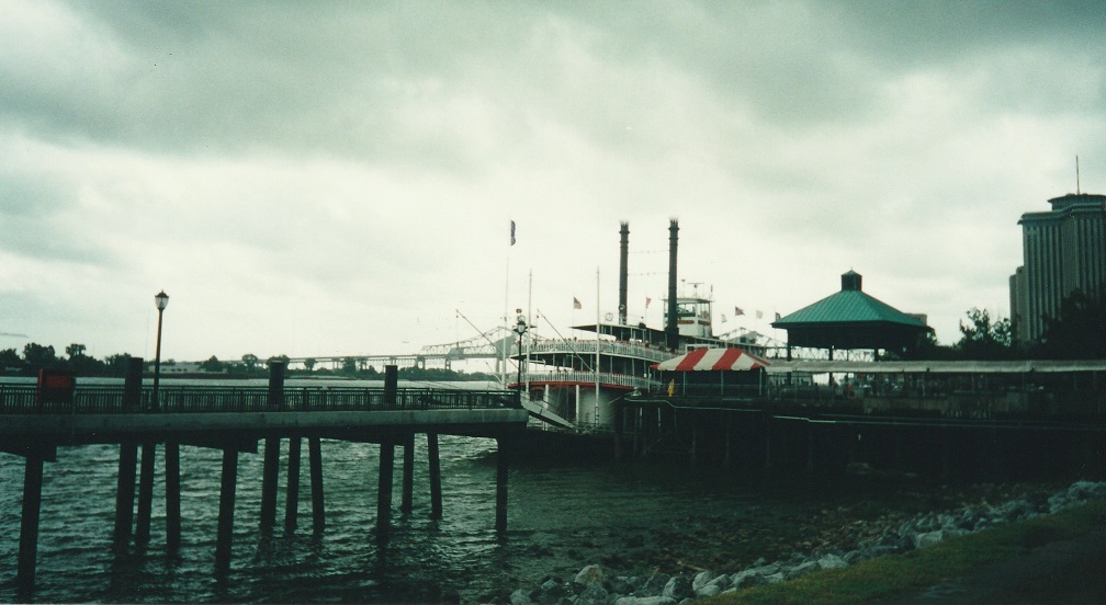
The boat landing
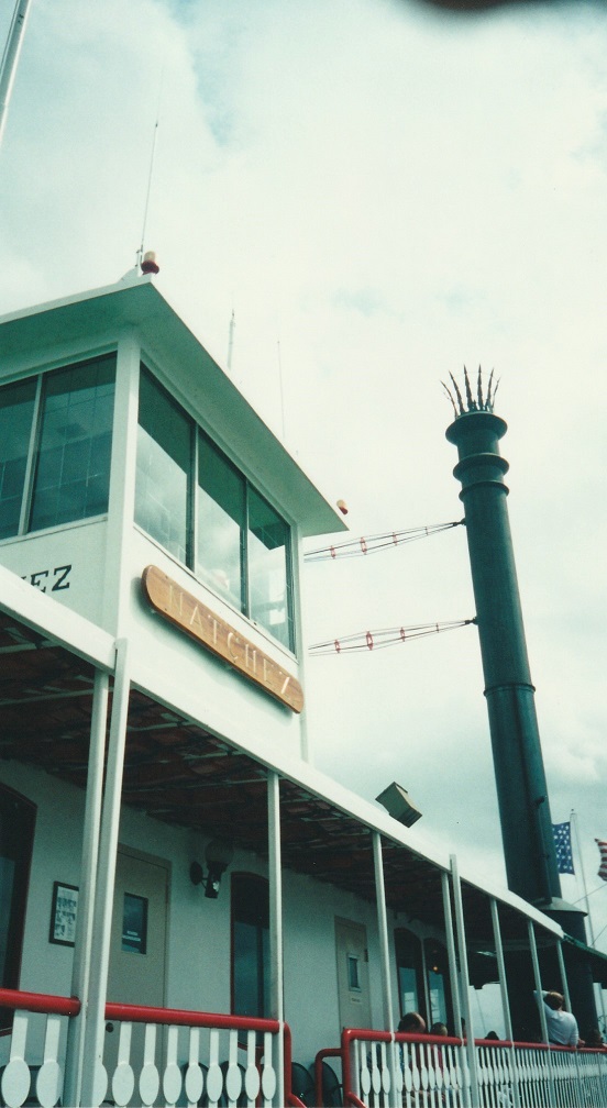
One of the boat's smokestacks
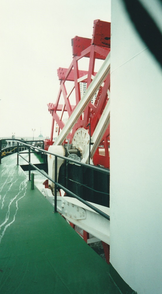
The boat's paddlewheel
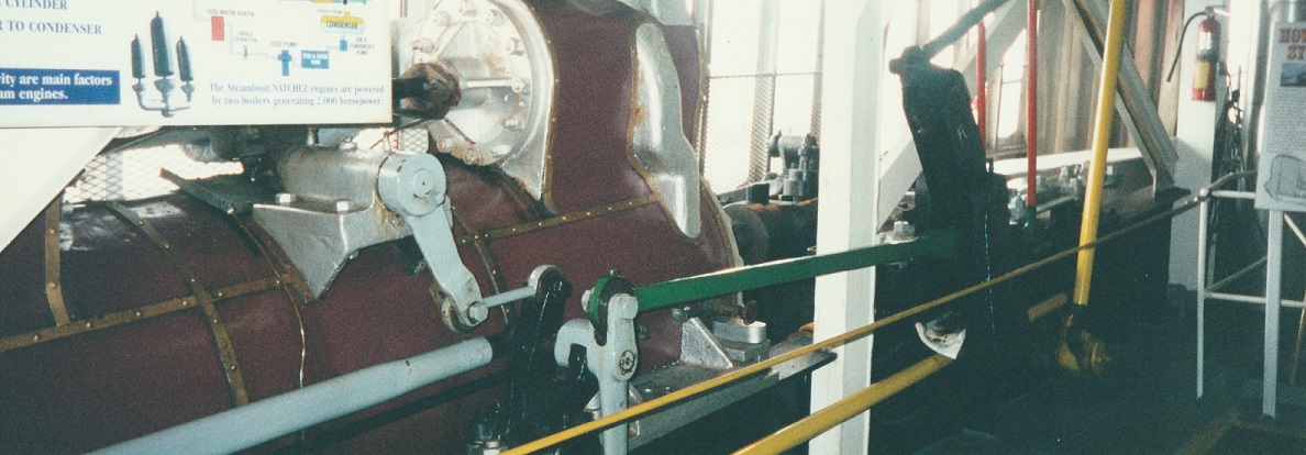
One of the engines that turns the wheel
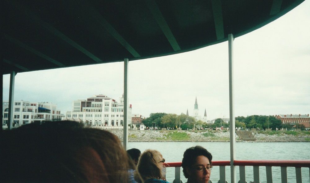
The French Quarter from the boat (you can see the spires of St. Louis Cathedral)
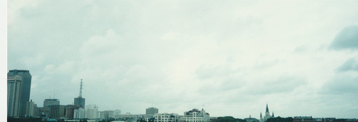
New Orleans skyline - there's the cathedral again, with the downtown area to the left
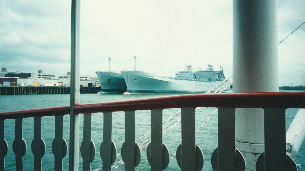
A couple of Navy ships parked (okay, docked) at a base south of the Quarter
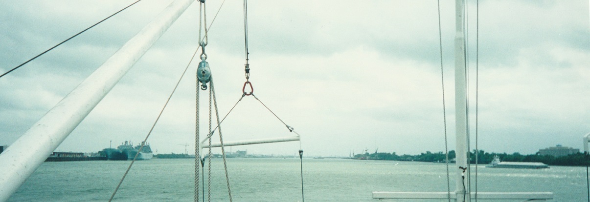
Looking downriver from the prow of the boat
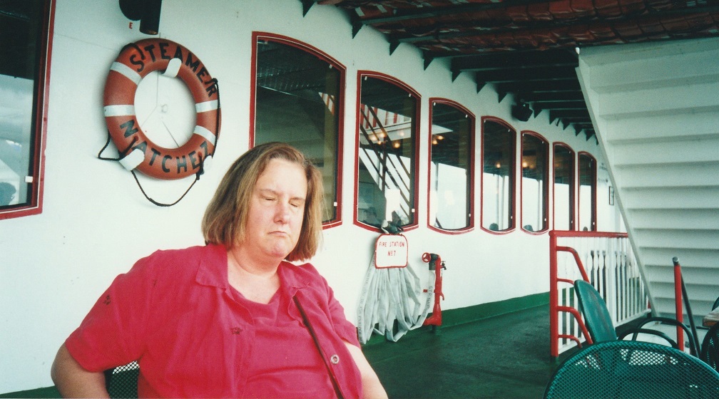
Terry on deck
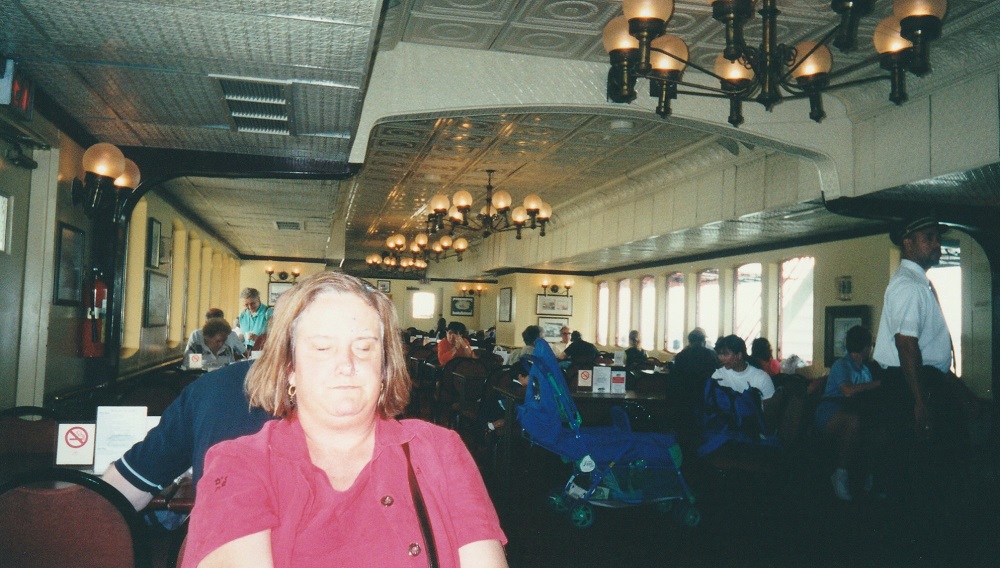
Terry in the dining room
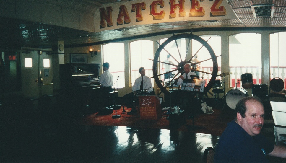
The band
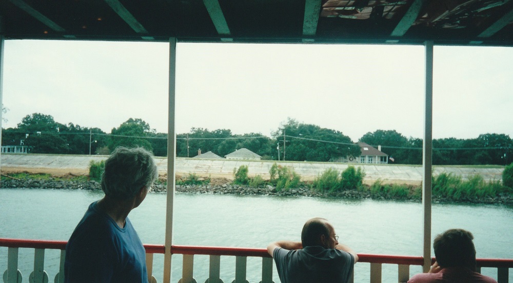
Remember what I said about houses below water level? Here we see roofs of houses, just peeking over the top of the levee:
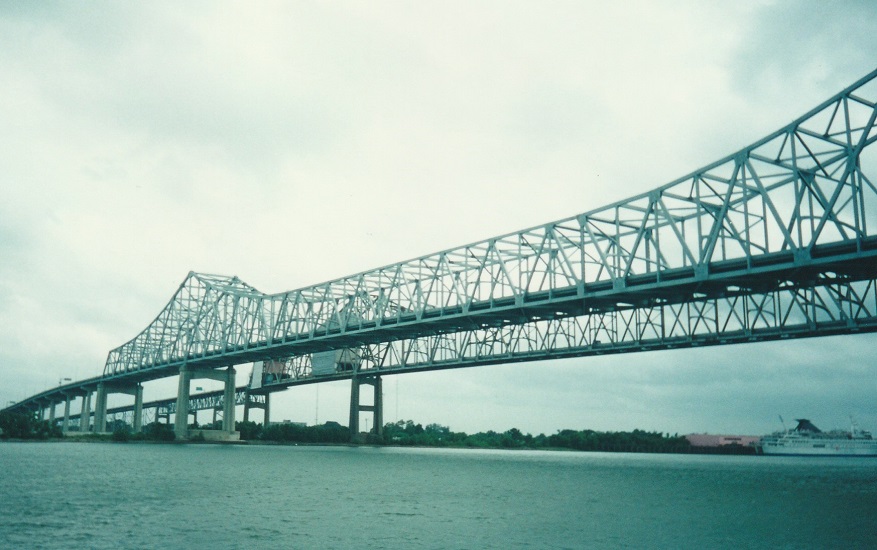
This is the Crescent City Connection, a pair of bridges (one in each direction) crossing the Mississippi from downtown New Orleans. All in all, we drove across something like six or seven bridges over the Mississippi during our trip:
After the cruise, we went back to the same candy store that the swamp tour driver had stopped at the day before (same store, different location), and bought a mess of pralines. By this time, Weight Watchers was but a distant memory. Lord, but those pralines were good.
Our next stop was the Old U.S. Mint. This building, which actually used to be a U.S. Mint, is now another one of the locations of the Louisiana State Museum. It contains two exhibits, one of which is about the mint itself. But it was the other exhibit, which takes up most of the building, that I was interested in - the Jazz Museum. I spent quite a while looking through here. I had just recently finished watching Ken Burns' Jazz special on PBS, so I found this museum particularly fascinating. Among other exhibits, it contains Louis Armstrong's first cornet. Wow.
This is as good a place as any to mention one place we didn't get to, Armstrong Park. This used to be known as Congo Square, because it was a favorite gathering place for the city's African American population. But was renamed several years ago in honor of New Orleans' favorite son. We didn't go to the park, but we drove by it several times. There's a large statue of Mr. A, which I saw from a distance.
By this time, it was still only late afternoon, and a little too early for dinner, so we decided to take a drive. Like many Almy drives, this one turned into a somewhat more adventurous experience than we had in mind.
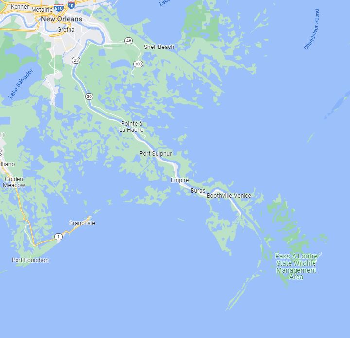
I am, of course, the kind of guy who likes to drive to end of the road, just to see what's there. Although New Orleans is commonly thought of as being at the mouth of the Mississippi, it really isn't - it's about 100 river miles upstream from the actual mouth. Looking at the map, I saw that there's a road, State Highway 23, which follows the river south from the city. It doesn't actually get all the way to the end of the river; since the river ends in a delta, it splits up into several small streams at the very end, and the ground is totally unstable. But this road would take us as far as could be gotten, so I decided to go there. Anyway, I figured it would be a nice drive along the river, and I could admire the river as I drove.
So we started out. But first, we stopped to get Terry a drink. Not for nothing do they call New Orleans The Big Easy. It appears that in New Orleans (actually, all over Louisiana, so let's not just pick on N.O.), there are, of all things, drive-through daiquiri stands. Yes, you read that correctly. Just think - you can drive up, get yourself a daiquiri (or other frozen drink - Terry got a Long Island Iced Tea), and be on your way. Truly amazing. But don't they have open container laws in Louisiana? Yes, they do. But get this - when they give you the drink, it's in a cup with a lid on it, and the straw they give you is still in its paper wrapper. So, technically, it's not an open container! What you choose to do with it after you drive away is up to you. And of course, a passing policeman can't tell the difference between a daiquiri and a Pepsi, in a styrofoam cup. Ain't it terrific? It's also kind of scary.
Anyway, off we drove, eagerly anticipating seeing the river. Alas, I still hadn't figured it out. There is nowhere along the banks of the Mississippi - at least, in Southern Louisiana - where you can see the river from the road. All you can see from the road are the levees. On top of that, it started raining, and by the time we started to come back, the rain had become positively torrential. It was quite an adventure.
Here are a series of map views of the road along the river, each one zooming in a little closer:
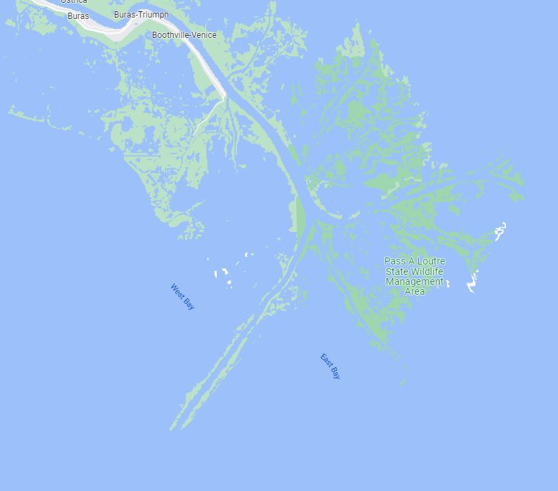
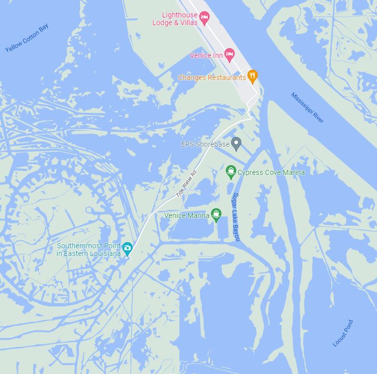
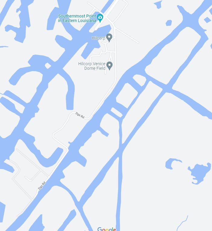
In the third and fourth maps, notice the point identified as "Southernmost Point in Eastern Louisiana. When we got to that point, here's what we found there:
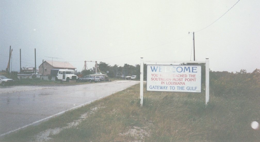
Well, of course the sign's not totally accurate. You can see from the maps that it's not the southernmost point in Eastern Louisiana, and it's not even the southernmost point reachable by road. But it/s close enough. Anyway, since there was nowhere else to go, we turned around and headed back. It was past dinnertime by now, so we stopped at a roadside seafood restaurant - the Blue Bayou - and then pressed on through the worst of the rain.
But my adventuresome spirit wasn't yet satisfied. I noticed that, at one point along the road, there was a free ferry to the other side of the river. I should explain that we were on the west bank of the river. New Orleans is on the east bank, but because of the way the roads are laid out, the most direct route back to the city was to stay on the west bank, and take the Crescent City Connection back over the river. However, I always prefer to go back a different way than I came, so we took the ferry. Now we were on the wrong side of the river, with no direct route back to New Orleans, but looking at the map, I saw another bridge that I could take back over to the west bank. With me so far?
Well, after driving up the river for several miles, I came to where I thought the bridge was, and discovered that I had read the map incorrectly, and there was no bridge. At first, I thought I'd have to backtrack to the ferry, or take a long, indirect way around to come back into New Orleans. However, I discovered that there was another ferry from where we were, back to the west bank.
Now, to get from the road to the ferry, of course you have to drive over the levee. A gravel road leads up and over the levee, and to the boarding ramp of the boat. What I didn't realize, however, was that there is also a dirt road that runs along the top of the levee. At the first ferry, the access road went straight up and over. But at this ferry, you had to drive up to the top of the levee, turn and drive along it a little ways, and then turn again and drive down to the boat. But I didn't know this, and it was dark. So I got to the top of the levee, and tried to keep going straight ahead.
Suddenly, there was a man behind me in one of those little motor scooters, like the ones meter maids use. He signaled me to stop, then came up alongside me and told me to follow him to the ferry, which I did. After I got onto the boat, I passed the man talking to one of the boat crew, and I heard him saying "...that guy was this close to the edge of the levee...," whereupon I realized that I must have been that close to putting the car into the river!
Well, we made it back without further incident. It was late, we were tired, and we went right to bed.